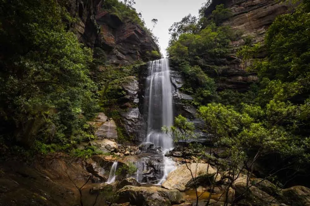
The Bob Turners Track offers relatively easy access down to a pristine stretch of the Colo River. The large sandy beach is backed by tall eucalypt covered mountains which give it a remote Robinson Crusoe vibe. This is a beach day Blue Mountains style!
The water is clear and perfect for swimming and unless you’re hiking on a cool day, you’ll definitely be ready for a dip by the time you reach it!
The track is a little scratchy in places, but generally in excellent condition, so if you’ve always fancied visiting the Colo River, this is a great first route - and you’ll probably be enchanted enough to start thinking about some of the other more challenging trails next!
Here’s everything you need to know about Bob Turners Track.

Bob Turners Track
The stats
Distance: 7.4km return
Elevation gain: 350m
Difficulty: Moderate
Summary: Bob Turners Track does head downhill quite a distance to the river, but only two sections are steep. Much of the trail is very gradual and there are plenty of flat sections too. Considering how far above the river you feel at first, I was quite surprised how gentle the descent was.
There were only a couple of tiny patches with some loose soil, but mainly it was a stable path and good terrain. Some plants are trying to reclaim the trail so it is scratchy in parts, but the track itself is always easy to follow.
The few fallen trees over the path are easy to walk over, so all in all, it’s a good trail. The climb back up the hill is broken by long flat stretches, but will feel more tiring if you’re hiking on a very hot day.

Starting the trail: descending through the bush
From the parking area (details below) the walk heads right, into the bush and down a series of well maintained wooden steps.
After 200m these stairs give way to a brief section of uneven stone steps. After this the track continues descending on wooden steps before it becomes a dirt path with the odd rocky patch.


Only the initial 350m after starting the trail are steep, after that the path becomes much more gentle. At the 600m mark, the forest becomes denser and greener and you will encounter many flat sections inbetween descending.
Whilst there are one or two very short steep parts of the track, they rarely last more than a minute and even the bits with looser soil were not slippery when dry.

After 1.9km you will encounter several trees down over the path, but they are easy to climb over. The next 500m are almost entirely flat or with a very gentle incline, the only slight downside is the scratchy plants encroaching a bit over the trail.

Reaching the river
At the end of the 500m virtually flat stroll there is a 50m steeper descent, some of which is a bit loose. This was probably the only bit that was a touch slippery, but honestly not too bad.
You’ll cross the dry creek bed and head very gently uphill before encountering a few more downed trees (2.6km into the trail) and they’re again very easy to climb over.


The next 400m are either flat or gently uphill on a narrow bush track. At the 3km mark the final descent begins and you’ll get your first good glimpse of the river a couple of hundred metres later.
I remember thinking it still looked quite a long way down, but it’s actually only 550m away.

The path begins to zigzag down towards the water and the trail conditions continue to be good. Whilst the last few hundred metres are a bit steeper - more like the very beginning of the trail - the good path still means it’s an easy descent.
After just under 3.8km walking you’ll pop out of the bush and onto the large sandy beach.

Arriving at the Colo River
You’ll arrive at the beach in front of a beautiful bend in the river. The cliff walls are densely packed with gum trees which tower above the sand, creating the feeling of ultimate seclusion.

The vibe is wild and remote, it’s a place that invites you to linger. And on that note you can camp down here if you’re comfortable without any facilities whatsoever (please leave it as you found it and carry out all rubbish with you).
The beach does get a lot of sun, though there are a couple of shady spots under the trees. It’s an amazing place to come and relax, have a picnic and spend time dipping in and out of the water.
This is the ultimate beach day, just swapping the ocean for the river!

Swimming in the Colo River
Water levels vary in the river according to recent rainfall, but for us it was the best of both worlds - shallow sections for lazing around and deeper sections for proper swimming.
You could cross to other side of the river which had another beach (that was shady in the afternoon) simply by walking across, the water was never above chest height and mainly knee height. Swimming further to the right allowed access to deep water and you could even swim beyond the bend.

The water was very clear and pretty warm on a hot day in summer (warmer than I’d like, but may be perfect for those that don’t like cold water!). Depending on the wind and sun the water can appear almost tannin coloured or a deep green.
It was green when the sun shone and the wind was calm, allowing the water to reflect the trees. Otherwise it was a darker colour. Both were pretty, but if you’re lucky enough to visit on a calm day, that’s when it’s most picturesque in my opinion.

Unfortunately we hiked on such a hot day that the heat haze was really bad and the sky turned white, so photos really do not do it justice. Expect it to be much more spectacular in real life!
Although you can explore further beyond this bend in the river we chose not to due to the heat. There’s also no official track, so it would be much more challenging.

I did read that some people even pack raft or lilo the river over to Canoe Creek, but this is quite an undertaking and needs careful planning due to how remote the area is and how few exit points there are (water levels also affect the difficulty of the rapids).
Sounds like an epic adventure, but probably not one we’re up to making!
The climb back out
Heat aside (I would not really recommend a 36C day for this walk!) the climb out is not as bad as I’d been expecting. There are the steepish sections at the beginning and end, but so much flat and gradual track inbetween that you can easily catch your breath and have a break.
Before doing the hike I was envisaging it to be something like Perrys Lookdown, but it’s actually around half that elevation, so as mentioned earlier, it’s an ideal first introduction to the Colo River.
Keep them wild
Please remember to take all rubbish with you and keep these places wild and pristine - as with anywhere in the outdoors. It’s important to leave them exactly as you found them so they will remain beautiful for generations to come.
Litter tends to breed litter, so if you do spot any and are able to pick it up and dispose of it outside the national park, it will go a long way to keeping the area clean.

Where to park and the access road
The trail begins in Wollemi National Park, just off the Putty Road in Colo Heights (you can find it on Google maps here). It’s around an hour’s drive from Bilpin and 1 hour 50 minutes from Sydney.
There isn’t really a car park for the trail, but there is room for a number of cars to pull fully off the road (please take care not to block the fire trail). Though there isn’t a huge amount of space, even when we visited in the school summer holidays there were still plenty of spots.
The last 2.8km of the road to the parking area is along a fire trail. Though the majority is a well graded flat track, there are also some large bumps and ruts, one of which is on a slight incline. A car with some clearance is going to make that much easier and is likely essential in anything but dry conditions.
Small cars with gutsy drivers may make it, but I wouldn’t like to advise as I wouldn’t try it personally and everyone we saw had a 4WD (not to say it can’t be done, but I wouldn’t like to encourage anyone to get stuck).
This post may contain affiliate links, meaning at no additional cost to you, that we will earn a small commission if you click through and decide to make a purchase. This helps towards the costs of running our website. Thanks for your support.